As the starting point of most projects, here at William Morris Surveys we understand the critical nature of delivering accurate survey results. Rest assured that with our knowledge and experience, topographical surveys are carried out with the care and due diligence to allow our clients the best start to any project.
Topographical surveys are carried out using the latest technology, we use a combination of Leica Total Stations and GNSS equipment to establish an accurate Ordnance Survey grid. As part of any survey, accurate control positions are established on site, as redundancy and for future use.
The needs of our clients are paramount, therefore, we pride ourselves on maintaining close professional relationships and being able to adapt our surveys to meet a broad range of requirements; from the survey of a simple garden and individual dwelling to large development sites. Our clients range from individuals to architects to national house builders.
Example Downloads
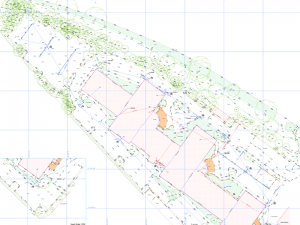
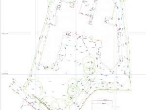
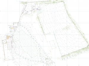
Below are some examples of our Topographical Surveys, click an image to open.